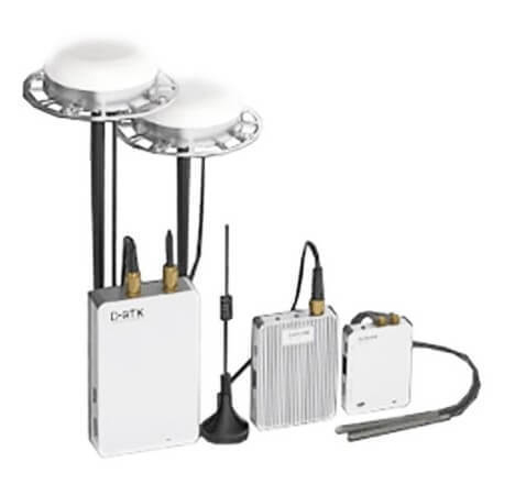
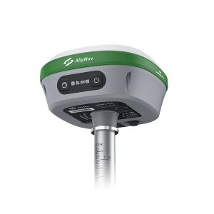
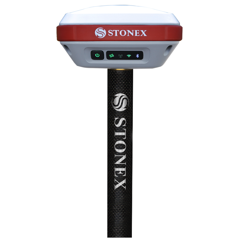
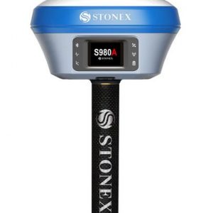
GNSS – DGPS – GPS – RTK
GPS RTK, or Real-Time Kinematic, is a GNSS/GPS technique used to enhance the precision of position data received from satellite-based positioning systems. RTK GNSS uses carrier-based ranging rather than code-based positioning, and relies on a single reference station to provide real-time corrections, resulting in the centimetre-level accuracy often required for applications such as surveying. GPS makes use of RTK to reduce and remove common errors.