UAV – DRONE – FLYCAM
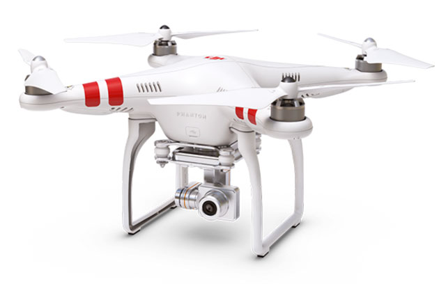
UAV surveying has been proven to be faster, safer and more cost effective than traditional survey, making it the perfect addition to the traditional surveying equipment portfolio.
With the millions of points recorded, operators, contractors and surveyors can generate precise 3D point clouds using easy-to-use software like Pix4D, Agisoft Photoscan,… for analysis, assessment and to provide a digital image of the reality.


